There were some incredible maps from this year’s FOSS4G (Free and Open Source Software for Geospatial) map gallery. Here are a few of my favorites:

nychenge.com
There were some incredible maps from this year’s FOSS4G (Free and Open Source Software for Geospatial) map gallery. Here are a few of my favorites:
nychenge.com
Public Laboratory has done it again with their newest kickstarter, an affordable infrared camera! This in combination with their balloon mapping kit could allow anyone to do remote sensing. There are only three levels but all of them net you the end product; an infrared camera! For only $10 they will send you a DIY kit, for $35 an infrared webcam, and for $95 you get the whole camera. Check it out!
Day 2 of GIS-Pro, this was a bit of a short day for me as I had two classes to attend. The day started with the opening Keynote address by Michael F. Goodchild on “Exploring Digital Earth”. This talk was based on a vision proposed by Al Gore in 1996 of a child with the ability to explore an exact digital replica of our earth from global to micro level. This speech was more of a “where we’ve been” and “how far we have to go” state of the digital earth address. He tackled the difference in cultures and the problems that poses as builders of this model. The technical leaps and bounds we’ve made were also addressed but the sheer technical difficulty of creating a 100% accurate model of our planet seems almost unreachable. I found the idea of including all information about a single point into this model both inspiring and overwhelming. I really look forward to seeing where a project such as this take us as a species. When we are forced to look at ourselves in the mirror but none of us see the same thing. Sorry didn’t mean to get all esoteric there but it was kind of inspiring!

Not actually Michael F. Goodchild but you probably can’t tell because of my blurry iPhone
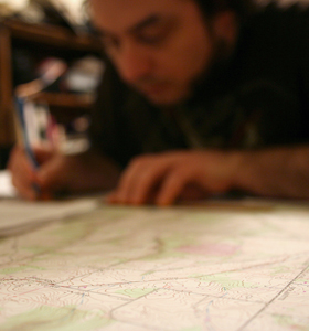
This week I was able to volunteer at URISA (Urban and Regional Information Systems Association) annual conference GIS-Pro! I was lucky enough to actually get my first pick for volunteering which was a workshop on open source GIS software. This workshop was taught by two incredible people, Sara Yurman and Carl Anderson. It was super inspiring to hear two GIS professionals who have found a way to integrate open source software into every aspect of their GIS process.

Open Source Workshop (Super exciting, huh?….Well it was for me!)