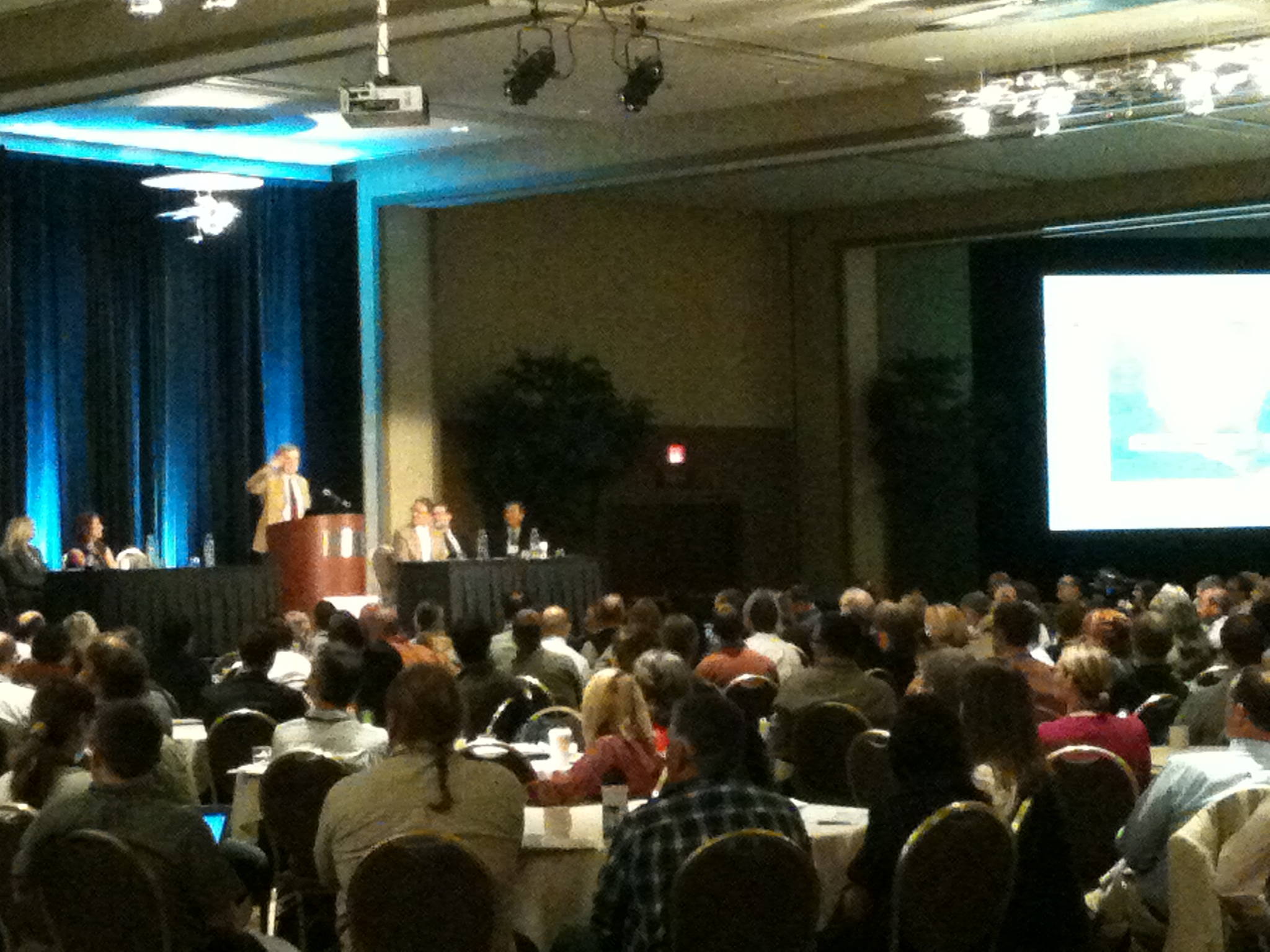
Day 2 of GIS-Pro, this was a bit of a short day for me as I had two classes to attend. The day started with the opening Keynote address by Michael F. Goodchild on “Exploring Digital Earth”. This talk was based on a vision proposed by Al Gore in 1996 of a child with the ability to explore an exact digital replica of our earth from global to micro level. This speech was more of a “where we’ve been” and “how far we have to go” state of the digital earth address. He tackled the difference in cultures and the problems that poses as builders of this model. The technical leaps and bounds we’ve made were also addressed but the sheer technical difficulty of creating a 100% accurate model of our planet seems almost unreachable. I found the idea of including all information about a single point into this model both inspiring and overwhelming. I really look forward to seeing where a project such as this take us as a species. When we are forced to look at ourselves in the mirror but none of us see the same thing. Sorry didn’t mean to get all esoteric there but it was kind of inspiring!
Next (and last) on the agenda was a breakout session titled: The Pacific Northwest – The New Frontier for Open Source Software and Open Data. I know, more open source, but I just can’t help myself!
The first presentation was from Skip Newberry, the president of Technology Association of Oregon. Every Portland State University GIS student knows his work from a much used product: CivicApps! He spent the first half of the talk discussing what went into gathering all this incredible data together on one site and the rest of the presentation discussing where they are headed. The first site they are working on is called CitySync, a web-based interactive platform meant for the Portland community at large. I haven’t had much of a chance to read up on it (it’s been a busy week) but I will definitely be following this project. The second project is called Techlandia which is billed as being a mash up between technology, creativity, and passion in Portland and greater Oregon. Sounds like a site worth keeping an eye on.
The second presentation was from Bibiana McHugh from TriMet (Portland’s public transit organization). She discussed her work of TriMet’s incredible Open Trip Planner and Open Street Map (OSM) which I have discussed in an earlier post on this site. What makes this OSM based navigation tool so great is the detail spent on making sure that all of the connectivity was intact in their service area; unlike other navigation tools based on OSM like say…..maps for iPhone. This was accomplished by hiring a small army of interns, fellow Portland State University students, to build the perfect Portland network. This system was built completely on open source software which can be used and modified by anyone; brilliant! I was also amazed at the amount of apps that have been built off this product. My favorite uses the on-board GPS to alert you when nearing a stop so you can get some shuteye called iNap.
The third presentation was from Tim Welch at Ecotrust. Tim talked about Madrona which is “A software framework for effective place-based decision making” created at Ecotrust. I haven’t had much chance to look too into it but from what he said it is a piece of software that is based on Post-GIS (open source database) and Django (open source web framework) which can serve as the base GIS web framework for more open/proprietary software with both 3D and 2D capabilities; including Google Earth. Geoserver, and Mapbox. I definitely plan on digging further into this program!
The final presenter was Darrell Fuhriman from Renewable Funding. Darrell spoke on the state of open source (OS) in Portland. This was both a crash course in PDX OS history as well as an explanation of why Portland has embraced OS. He explained how Portland went from a hardware town to a software town. I was especially interested in how Intel created the OS Development Lab and was able to lure Linus Torvald (the father of Linux) to Portland. The take home message: The reason Portland is so great for open source is because that is just the way Portland thinks. The perfect note for me to leave for class and plan to take on the GIS world!
Link to Technology Association of Oregon: http://www.techoregon.org/
Link to CivicApps: http://www.civicapps.org/
Link to CitySync description: http://civicapps.org/about/city-sync
Link to Techlandia’s splash page: http://www.techlandia.org/
Link to Trimet – Route Trip Planner – Apps: http://trimet.org/ – http://rtp.trimet.org/#/ – http://trimet.org/apps/index.htm
Link to Open Street Map: http://www.openstreetmap.org/
Link to Ecotrust – Madrona: http://www.ecotrust.org/ – http://madrona.ecotrust.org/
Link to Renewable Funding and Darrell’s site: https://renewfund.com/overview – http://geogeek.garnix.org/


Leave a Reply