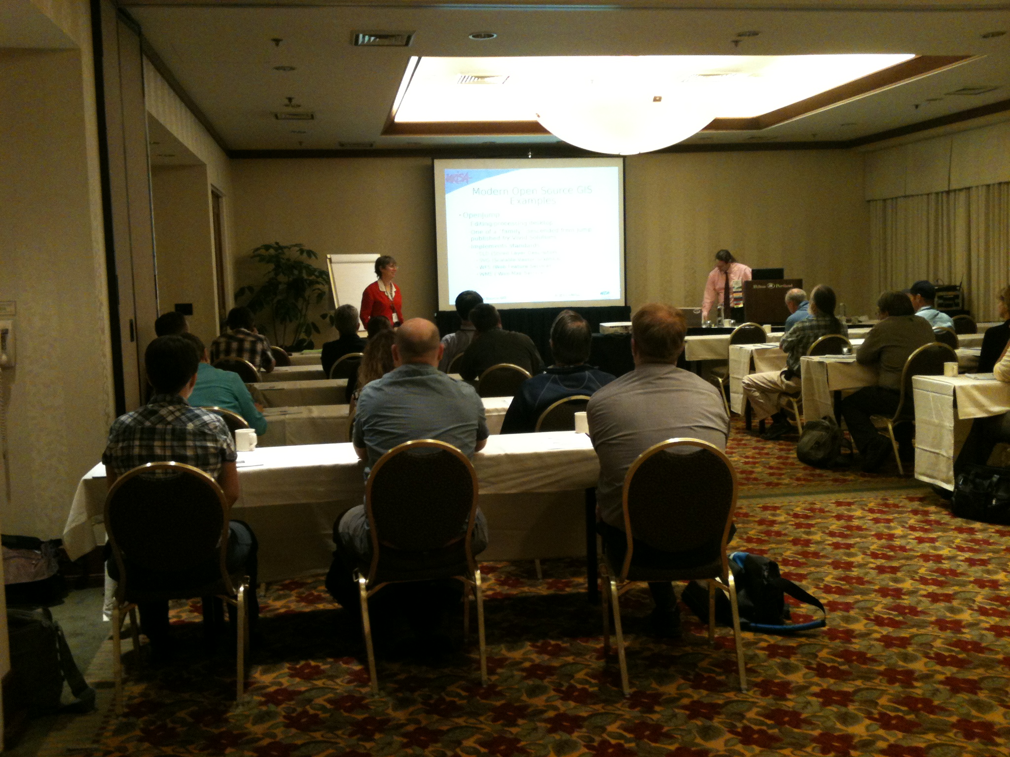
This week I was able to volunteer at URISA (Urban and Regional Information Systems Association) annual conference GIS-Pro! I was lucky enough to actually get my first pick for volunteering which was a workshop on open source GIS software. This workshop was taught by two incredible people, Sara Yurman and Carl Anderson. It was super inspiring to hear two GIS professionals who have found a way to integrate open source software into every aspect of their GIS process.
I am super stoked knowing that it is 100% possible to do everything I might need to possibly do in my career with open source software and I know this workshop just barely scratched the surface. Having these programs demoed in real-time using real problems was inspiring. The 8 hours just flew by; well, I might have got a little sleepy after lunch but that much Korean tofu burrito would put most people to sleep.
The first demo was of Post-GIS: the holy grail of open-source databases. I have tried multiple times to run some tutorials I found online without much luck. The detail of the demo in this workshop helped demystify many of the problems I have run into as a newcomer to enterprise level databases. I look forward to running through this demo on my own in the near future.
The demos on Quantum GIS were really helpful for learning to add some style to the skill-set I already have in that program. I also really enjoyed the demo for creating SLD files (similar to LYR files in ArcMap) for shapefiles in AtlasStyler and using them between multiple open source mapping programs (GeoPublisher and uDig). The final demo taught me to use OpenJump to fix topology in shapefiles a very quick and easy way.
Overall this workshop has totally changed the way I look at GIS. I have been looking for a single open source program to replace my ESRI set of tools rather than a suite of multiple programs to replace them. This workshop helped me understand that open source is more fluid when it comes to designing tool sets. With open source programmers build tools they need off of other tools that exist, this results in many different programs that work together using open standards rather than a single program that does not play well with others. I especially have to extend my deepest gratitude to Sara Yurman for allowing me to pick her brain and sitting down with me to explain all of my questions!
The day ended for me in an insane speed networking event. This was basically networking bingo, every contestant got a bingo card and you had to fill it by talking with each person and finding out something about them. Through this events I was able to meet (fill out my bingo card) people who were board members of URISA, past presidents of URISA, Oregon college grads, GISPs, and much more. I was able to fill my card with time to spare but was unable to procure one of the prizes. Sadly I was unable to attend the Ignite sessions later in the night as I was falling asleep standing but there’s still 3 more days left!
Link to GIS-Pro: http://www.urisa.org/conferences/aboutgis-pro
Link to PostGIS: http://postgis.refractions.net/
Link to Quantum GIS: http://www.qgis.org/
Link to AtlasStyler: http://en.geopublishing.org/AtlasStyler
Link to Geopublisher: http://en.geopublishing.org/Geopublisher
Link to uDig: http://udig.refractions.net/
Link to OpenJUMP GIS: http://www.openjump.org/
Link to Geoserver (also demoed): http://geoserver.org/display/GEOS/Welcome
Link to Human-Baby-Sized-Korean-Tofu-Burrito-Cart: http://www.yelp.com/biz/korean-twist-portland


Leave a Reply