Portfolio
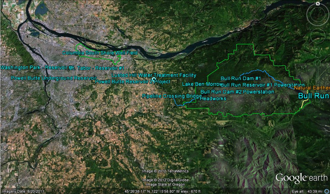
Google Earth Tour of Bull Run Watershed
Spring 2012: This tour was created with fellow student Keith McKinnon and was presented at the Simon Benson Awards Dinner on October 9, 2012. Models were created in Google Sketchup of
Read more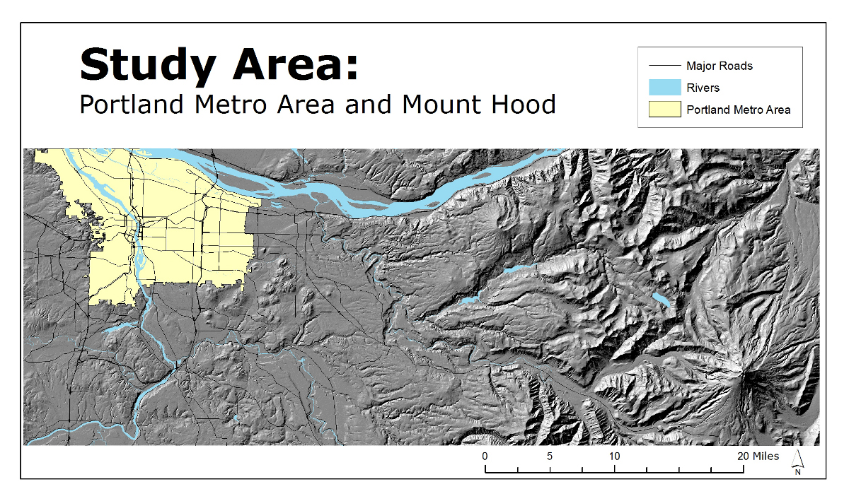
The Relationship Between Housing Prices and a View of Mount Hood
Fall 2011: This was for a project that looked at the viewshed of Mt Hood from the Portland metro area with relation to housing prices. This map shows the total study
Read more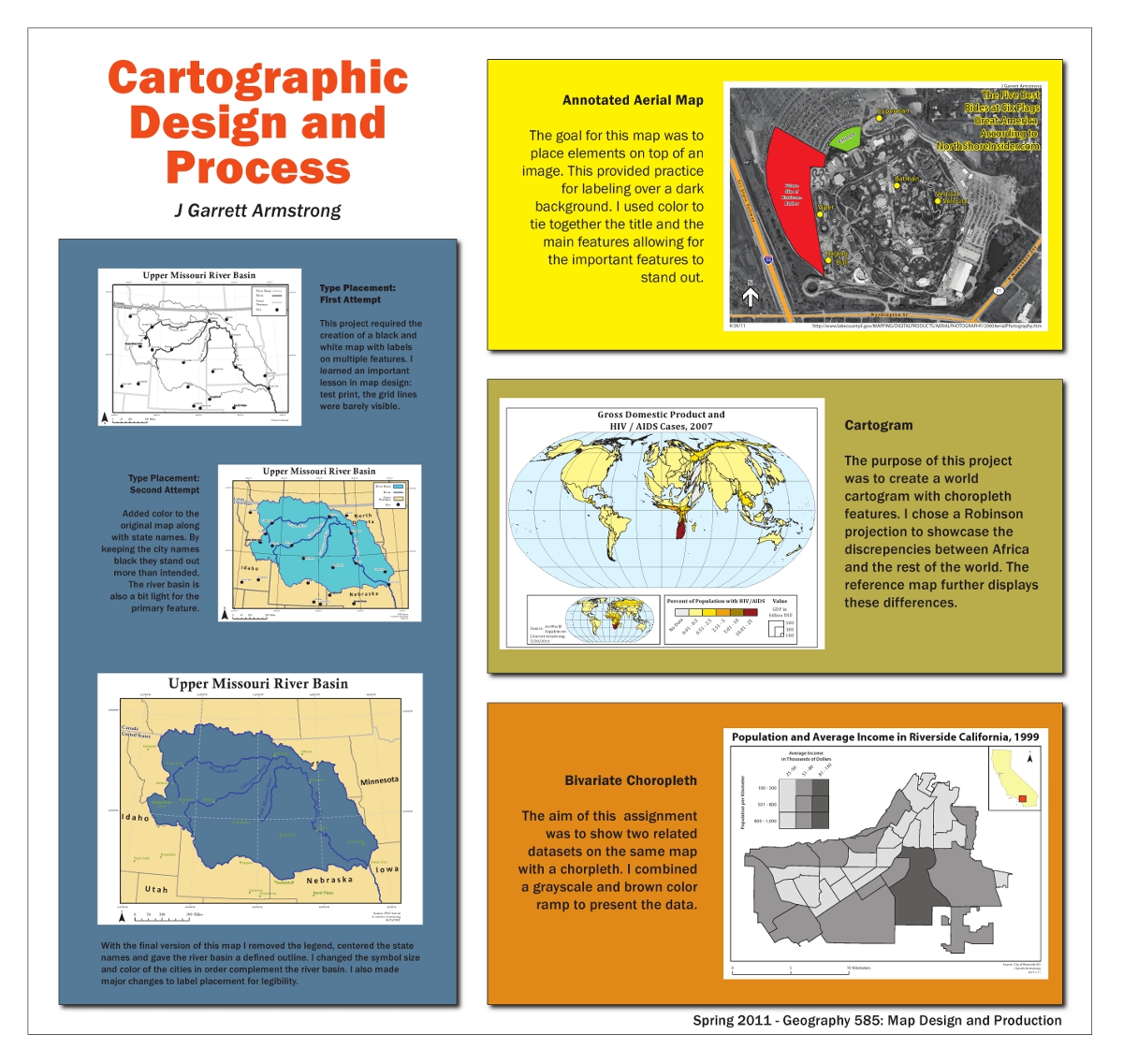
Cartographic Design and Process
Spring 2011: This was done for a Cartographic Design and Process project that displays the many different projects throughout the whole class. This was an annotated map made from a
Read more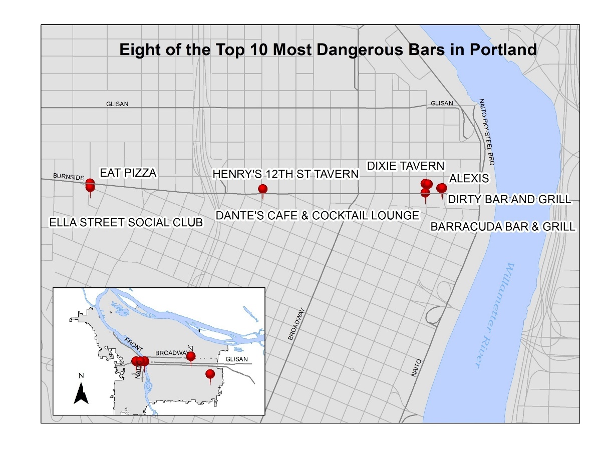
The Most Dangerous Bars in Portland, OR
Winter 2011: This was a project I worked on with a group to find the most dangerous bars in Portland, this was done by plotting all establishments with a license to
Read more