Summer 2013:
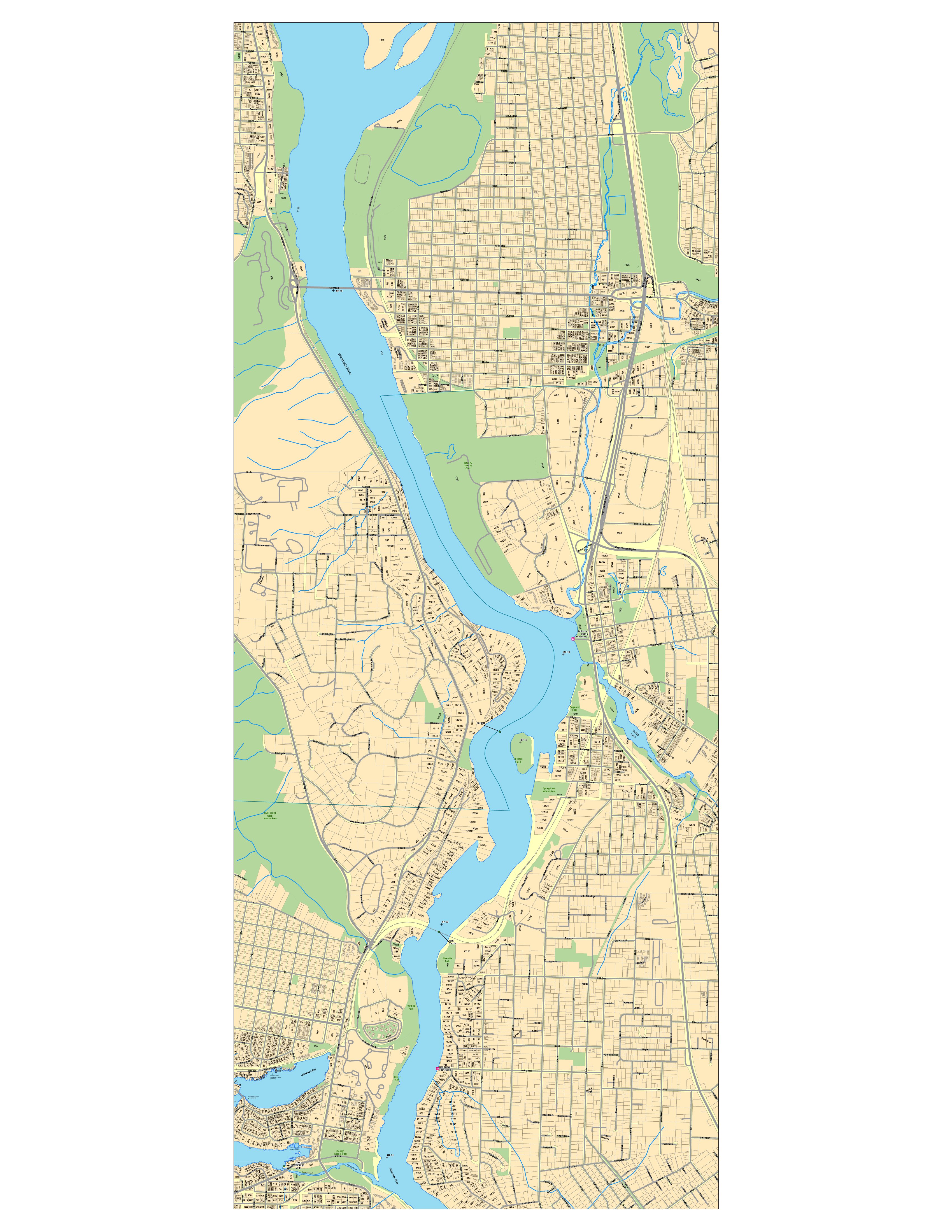
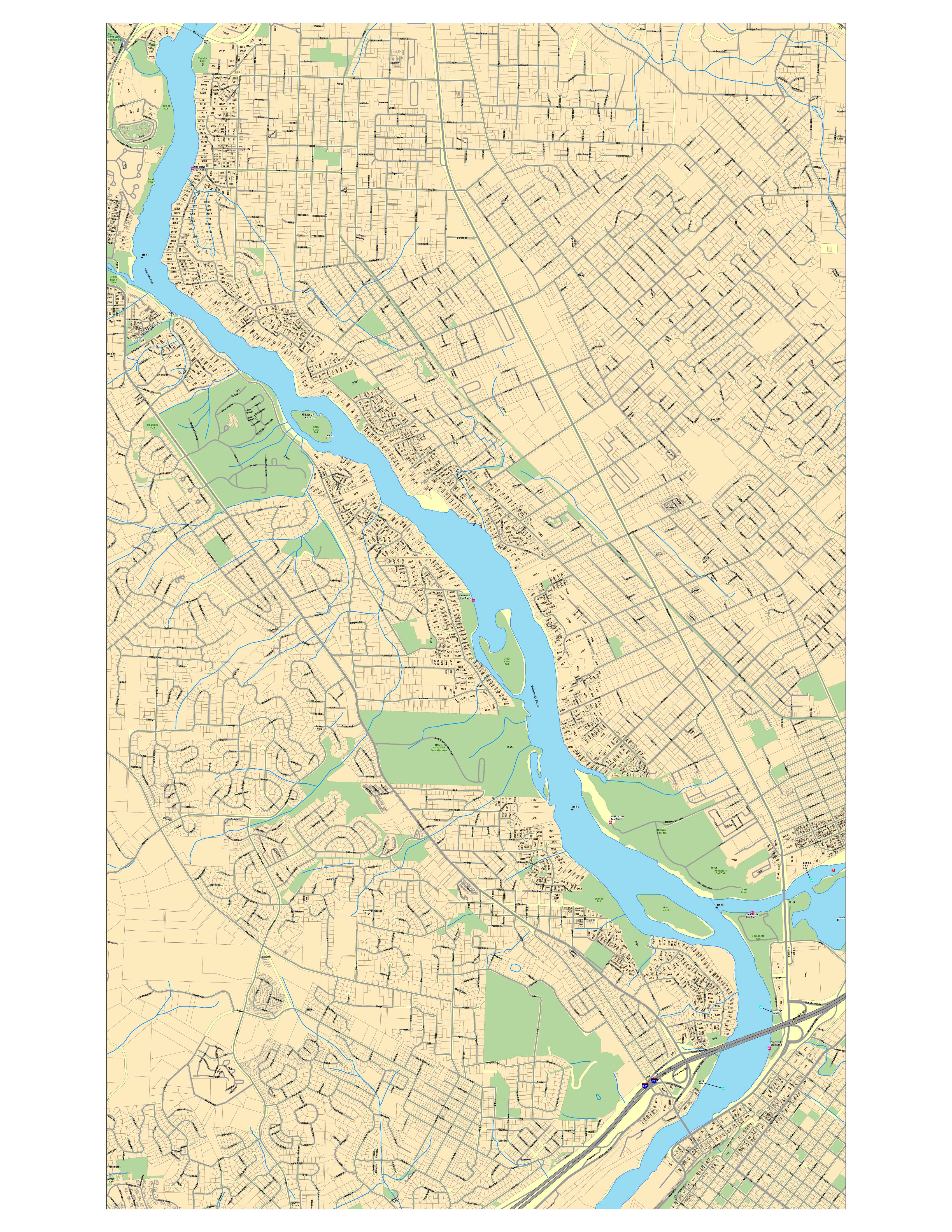
This was a series of posters created for the Lake Oswego Fire Department. They required wall maps of the Willamette, Clackamas, and Tualatin rivers along with all the addresses along the rivers. These maps are used by the river rescue team. Each map was 34 inches by 44 inches and required quite a bit of labeling trickery to ensure all the addresses were legible at that size.
First Part of the Clackamas River map.
Second Part of the Clackamas River map.
Final Part of the Clackamas River map.
Upper portion of the Willamette river.
Lower portion of the Willamette river.
Lake Oswego and Tualatin River.


