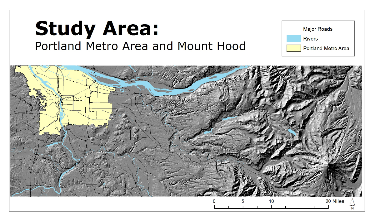
Fall 2011: This was for a project that looked at the viewshed of Mt Hood from the Portland metro area with relation to housing prices. This map shows the total study area complete with hillshades from from the DEM even though a DSM was used for the final study.
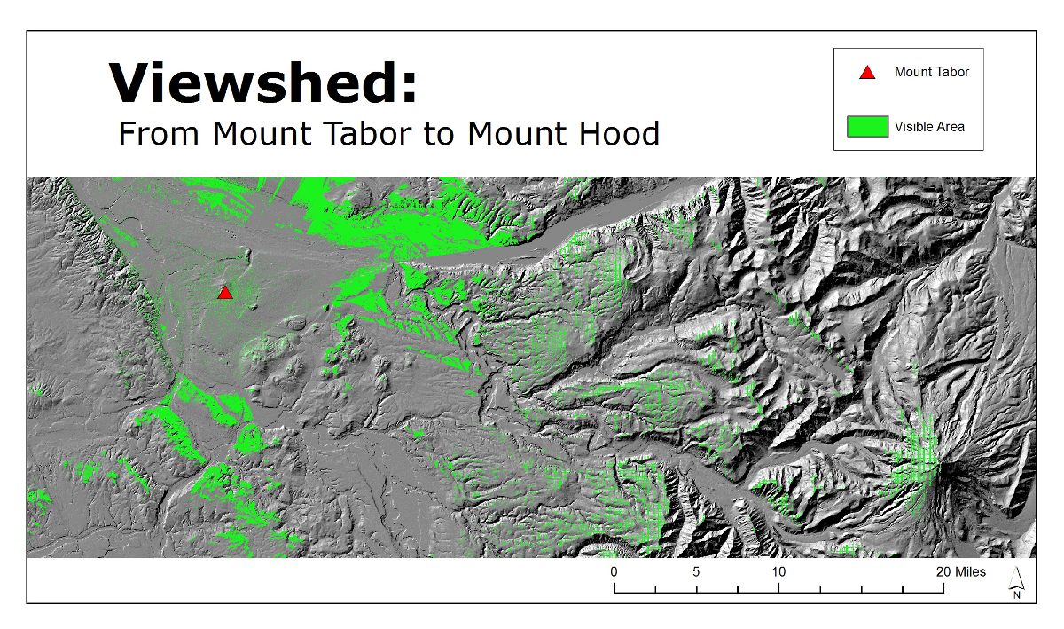
This was a test viewshed from Mt Tabor to find the optimal viewpoint elevation on Mt Hood.
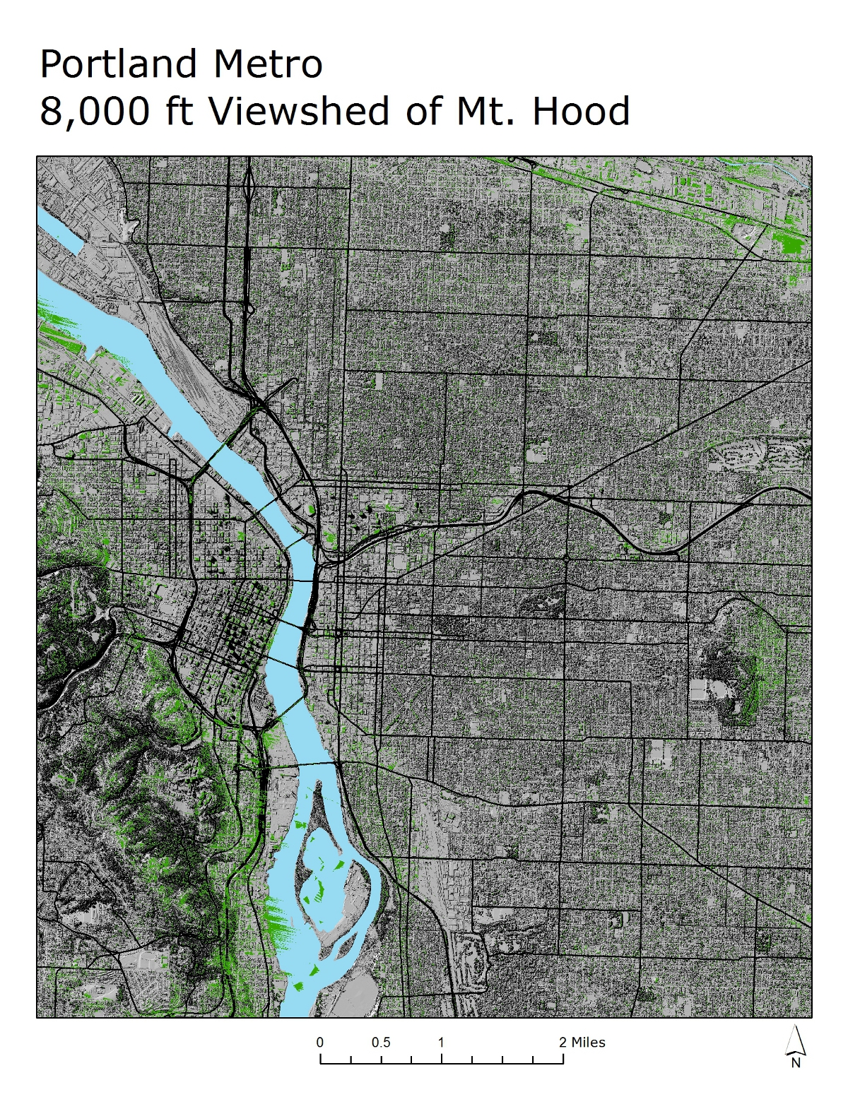
Viewshed from Mt Hood to Portland at a viewpoint of 8,000 feet. The green represents all the areas in Portland that have a view of Mt Hood.
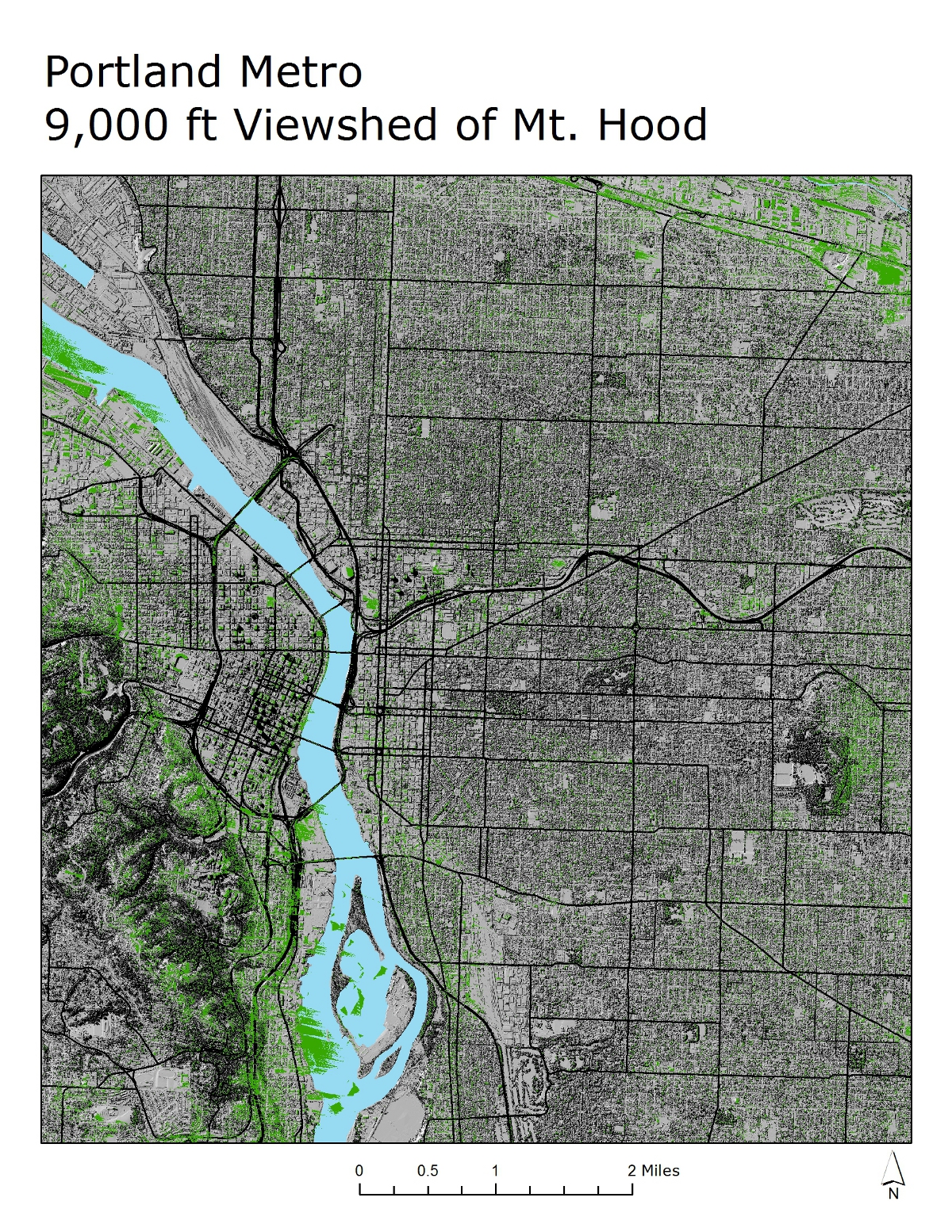
Viewshed from Mt Hood to Portland at a viewpoint of 9,000 feet. The green represents all the areas in Portland that have a view of Mt Hood.
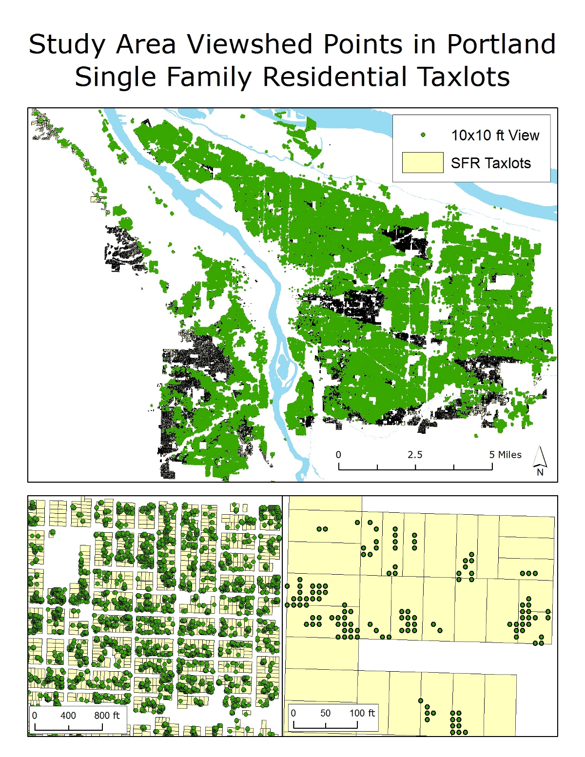
These are the viewsheds in the portland taxlot. The raster cells were converted to points in order to count the amount of area that had a view of Mt Hood per taxlot.
Price comparison between taxlots containing more than 40% and less than 40% view of Mt Hood.
