Spring 2012:
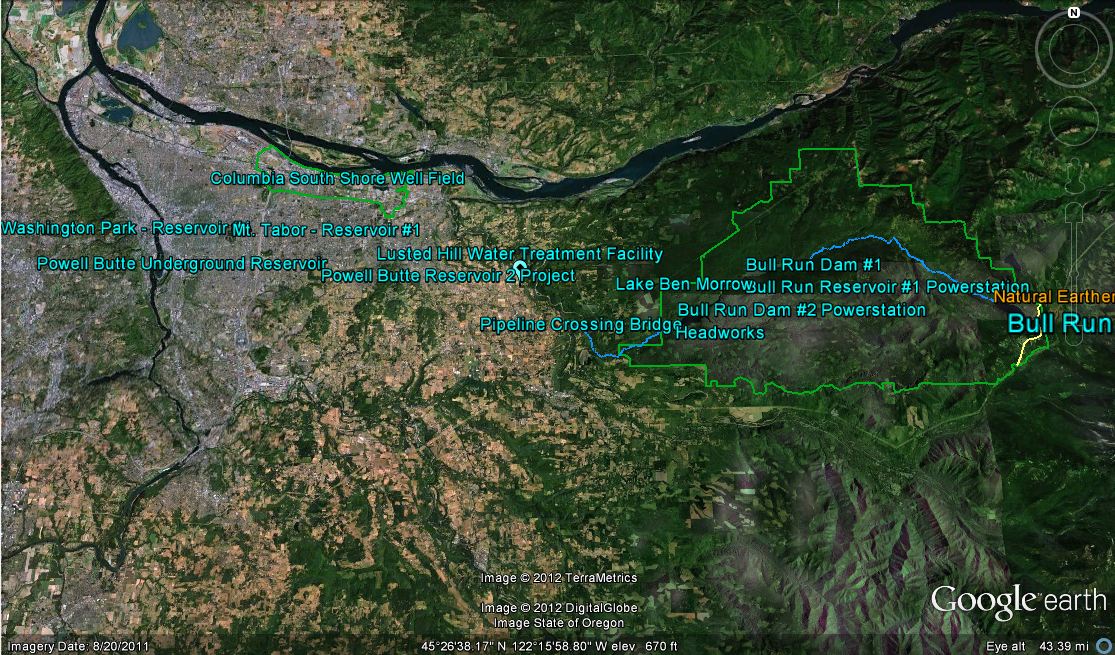
This tour was created with fellow student Keith McKinnon and was presented at the Simon Benson Awards Dinner on October 9, 2012. Models were created in Google Sketchup of the two powerstations and the pipeline bridge. The rest of the of the tour was created in Google Earth.
The purpose of this project is to create awareness of where Portland’s water supply comes from and the journey required to bring drinking water to the city. It has been created in collaboration with the Portland Water Bureau and is featured on a PSU website, http://web.pdx.edu/~wyckoffj/ with a link to the Google Earth file. This tour shows Portland’s water supply from ridgeline to reservoir with all the working parts in between.
http://youtu.be/cEWAOWQLmf0
The video is a bit choppy but it gives the full tour from the project.
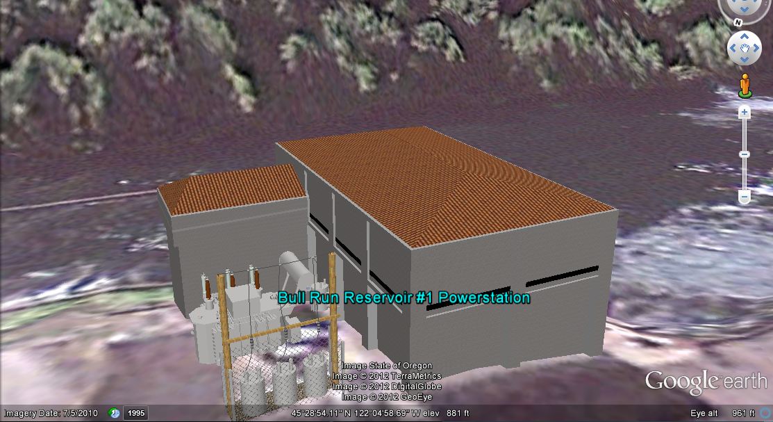
Powerstation #1 created in Google Sketchup
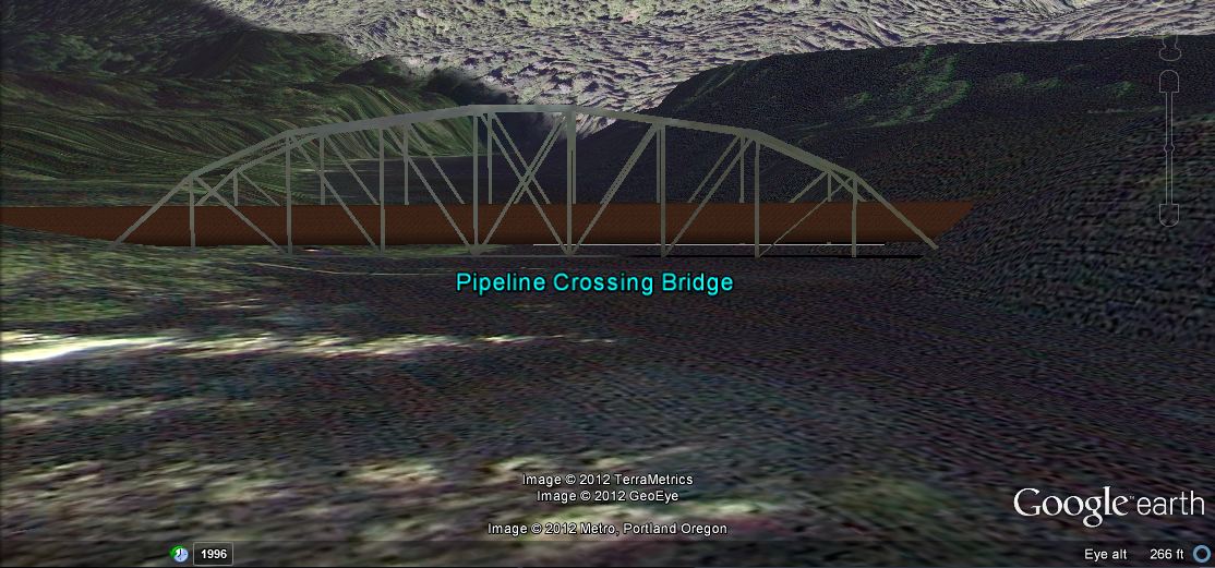
Pipeline Crossing Bridge created in Google Sketchup


