Spending three days at the NACIS 2012 conference was an amazing experience. I went to some incredible sessions but a cartographic conference is really all about the maps. Here are some of my favorites from the maps gallery.
Perfect example of art meets map!
Of course I love Game of Thrones so this one was a no-brainer. Sorry the quality is a bit grainy but I was still learning to use my new phone.
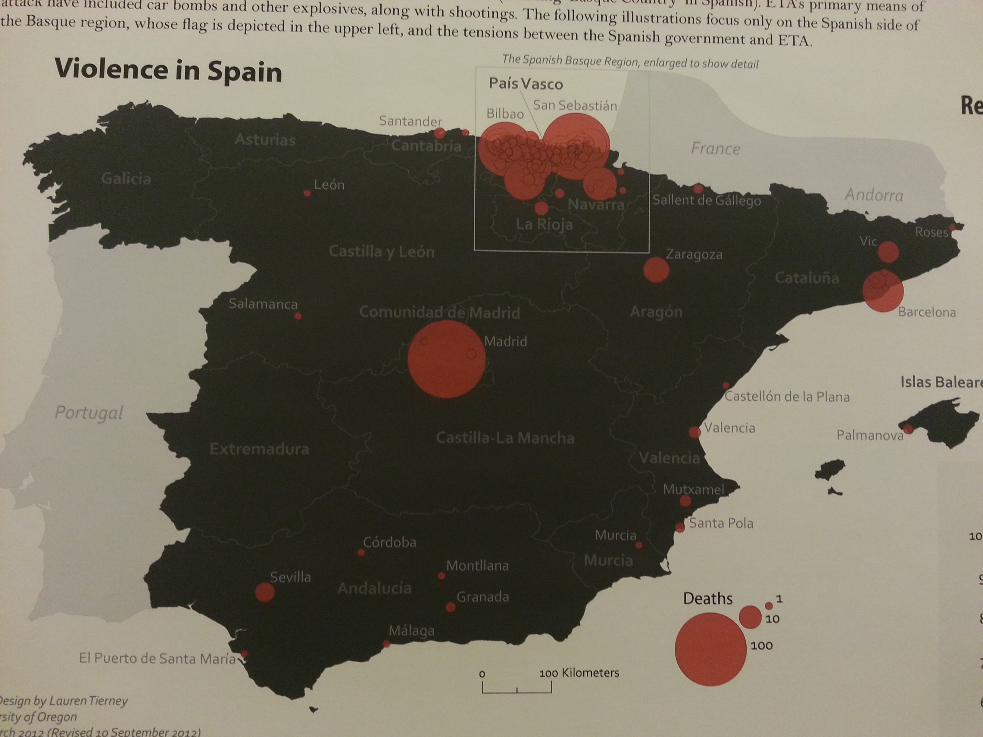
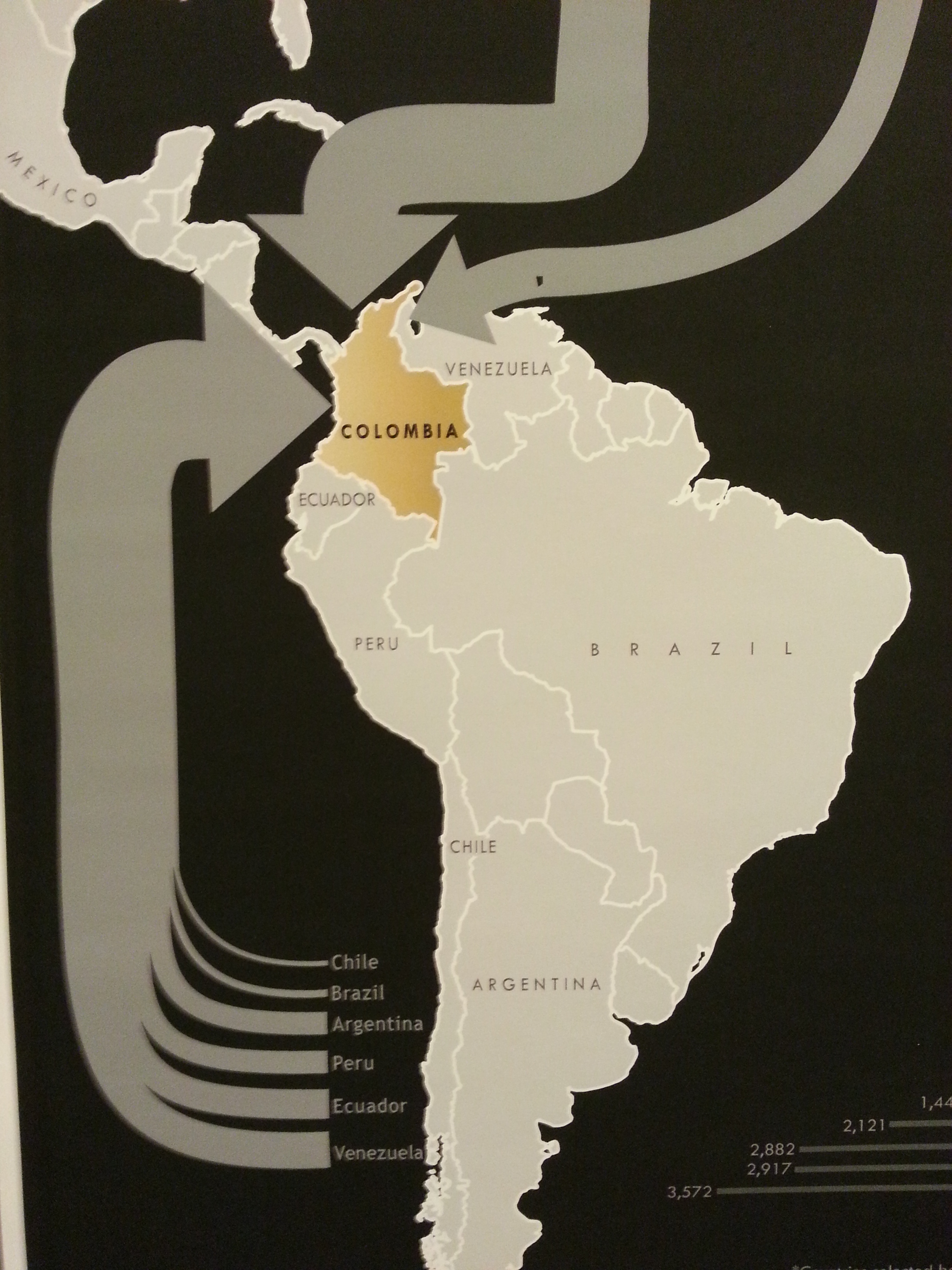
I just love the use of color in this map, I’m a sucker for red on black.
This incredible map was part of the Science Maps exhibit.
This was an interesting way to show temporal data and I found myself hypnotized by the repetition.
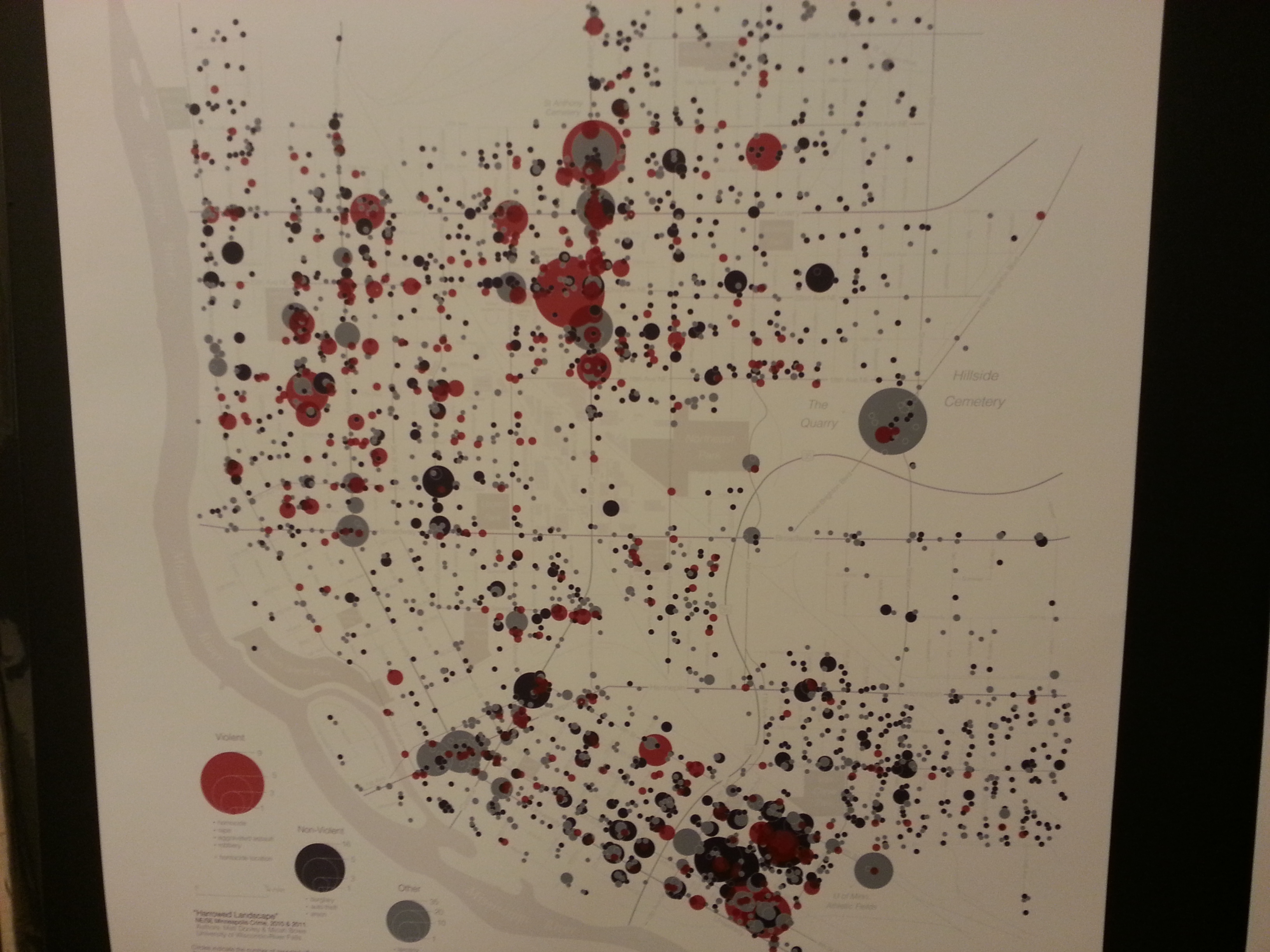
Harrowed Landscape: NE/SE Minneapolis Crime: 2010-2011 by Mathew A. Dooley of Univ. of Wisconsin – River Falls

Harrowed Landscape: NE/SE Minneapolis Crime: 2010-2011 by Mathew A. Dooley of Univ. of Wisconsin – River Falls
Again a sucker for red on black but this map really displays the data perfectly! It really makes me want to make some concentric circle maps.
All the wine regions from the Oregon Trail video game.
14 different map styles done by 14 different people all quilted together into one glorious map.
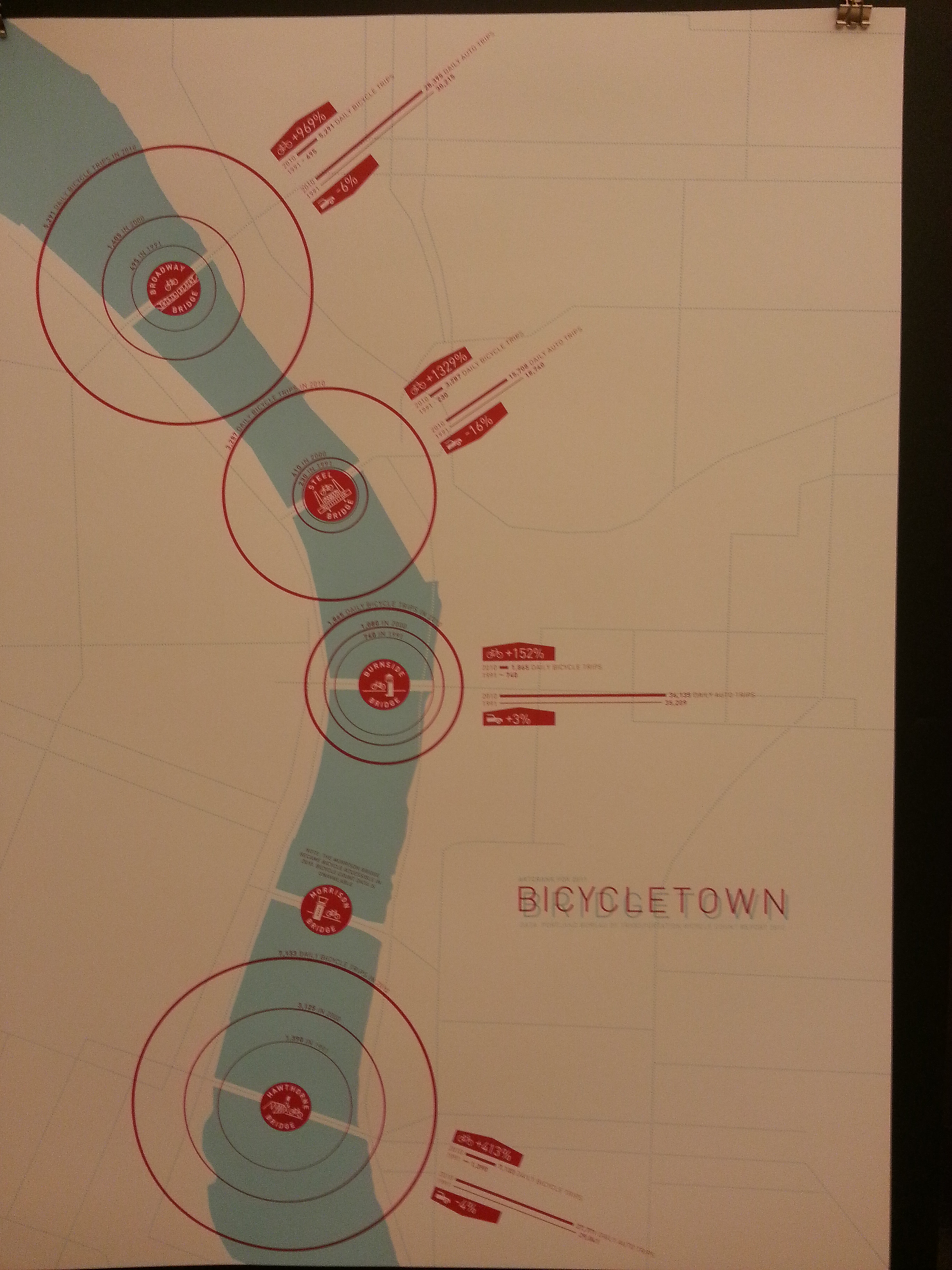
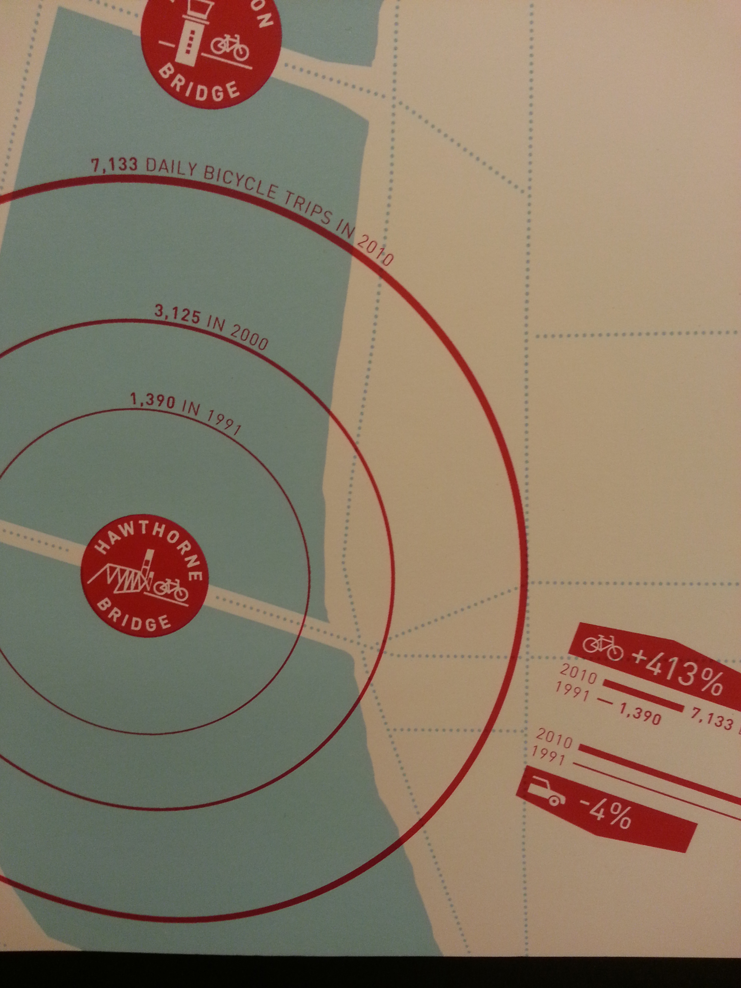
I love me some info-graphics! Notice that he created a different logo for each bridge. Click on the picture on his website for some high quality photos of the map.
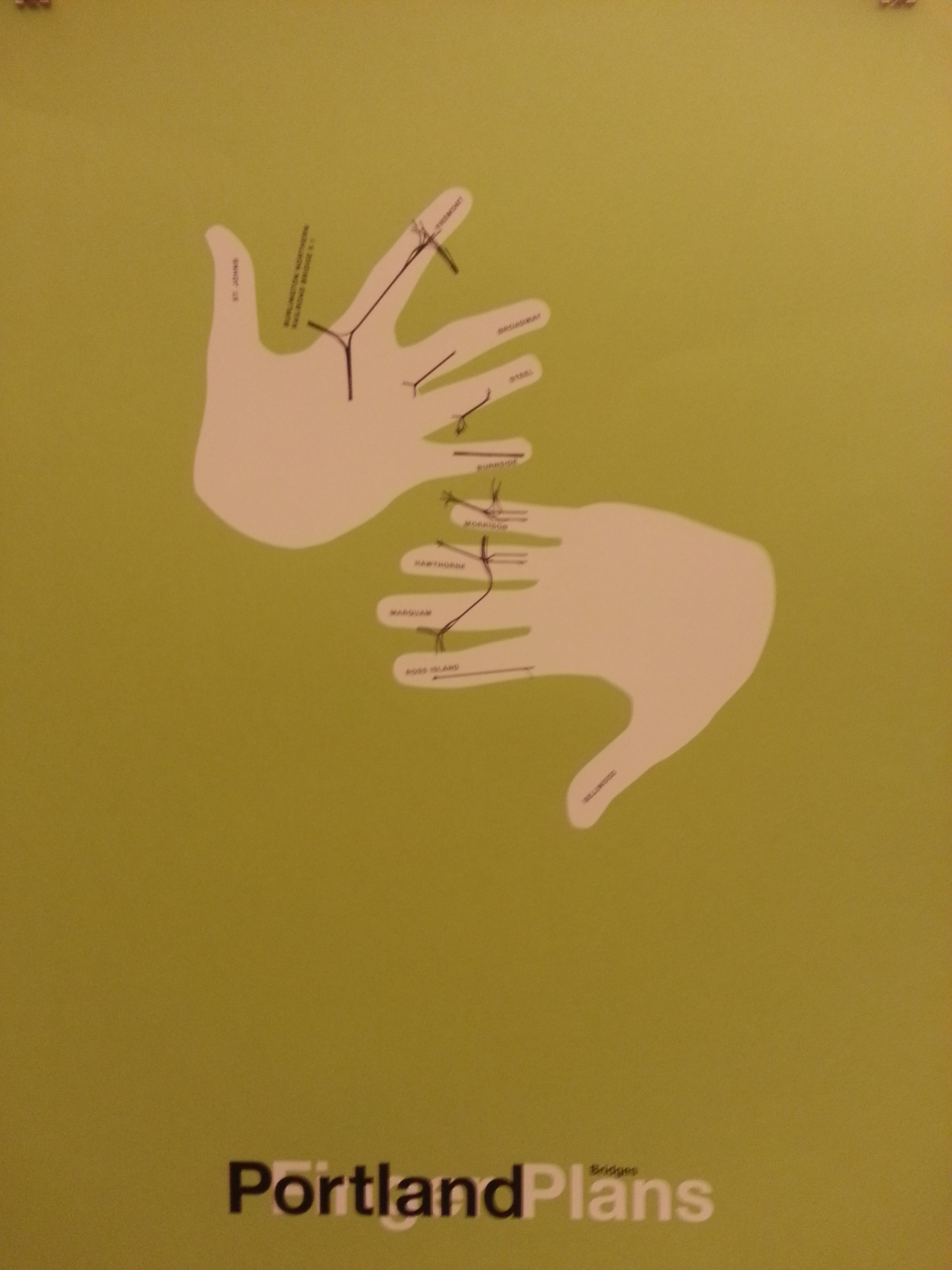
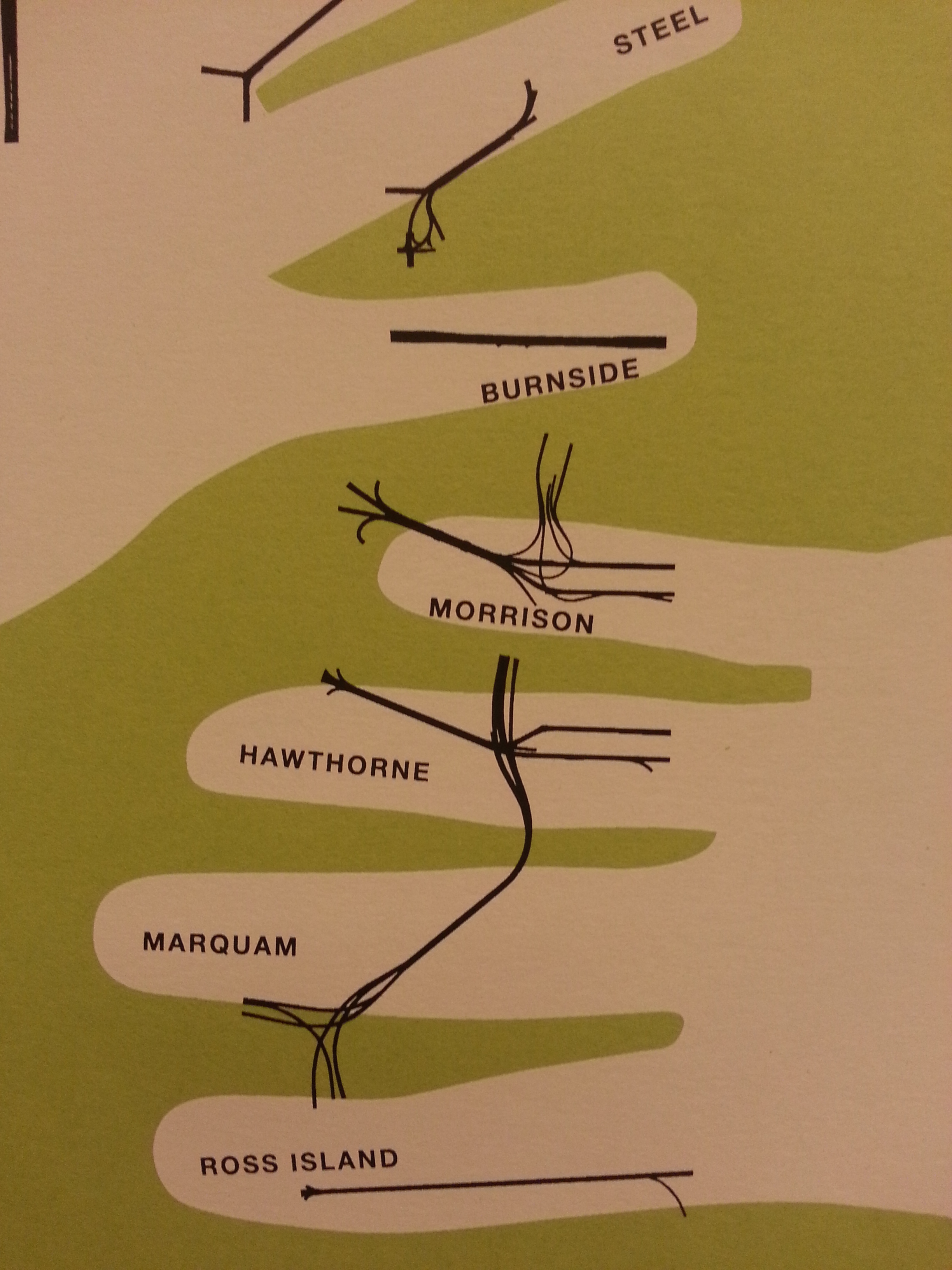
This is just one in a series of Portland maps created using hands. Check out his website to see all of them.

Developing the Cultural Atlas of Portland by David Banis, Jon Franczyk, Daniel Coe, Kirk McEwen, and Frank Lahm III

Developing the Cultural Atlas of Portland by David Banis, Jon Franczyk, Daniel Coe, Kirk McEwen, and Frank Lahm III
Ever needed to navigate downtown with the least amount of visibility?….Here’s your map!

Developing the Cultural Atlas of Portland by David Banis, Jon Franczyk, Daniel Coe, Kirk McEwen, and Frank Lahm III
All the different slogans written on stop signs in Portland.

Developing the Cultural Atlas of Portland by David Banis, Jon Franczyk, Daniel Coe, Kirk McEwen, and Frank Lahm III
A beautiful way to show the growth of a city.

Developing the Cultural Atlas of Portland by David Banis, Jon Franczyk, Daniel Coe, Kirk McEwen, and Frank Lahm III
A 3D visualization of diversity in PDX.

Developing the Cultural Atlas of Portland by David Banis, Jon Franczyk, Daniel Coe, Kirk McEwen, and Frank Lahm III

Developing the Cultural Atlas of Portland by David Banis, Jon Franczyk, Daniel Coe, Kirk McEwen, and Frank Lahm III
Not sure I can agree with these classifications but a fun map nonetheless.
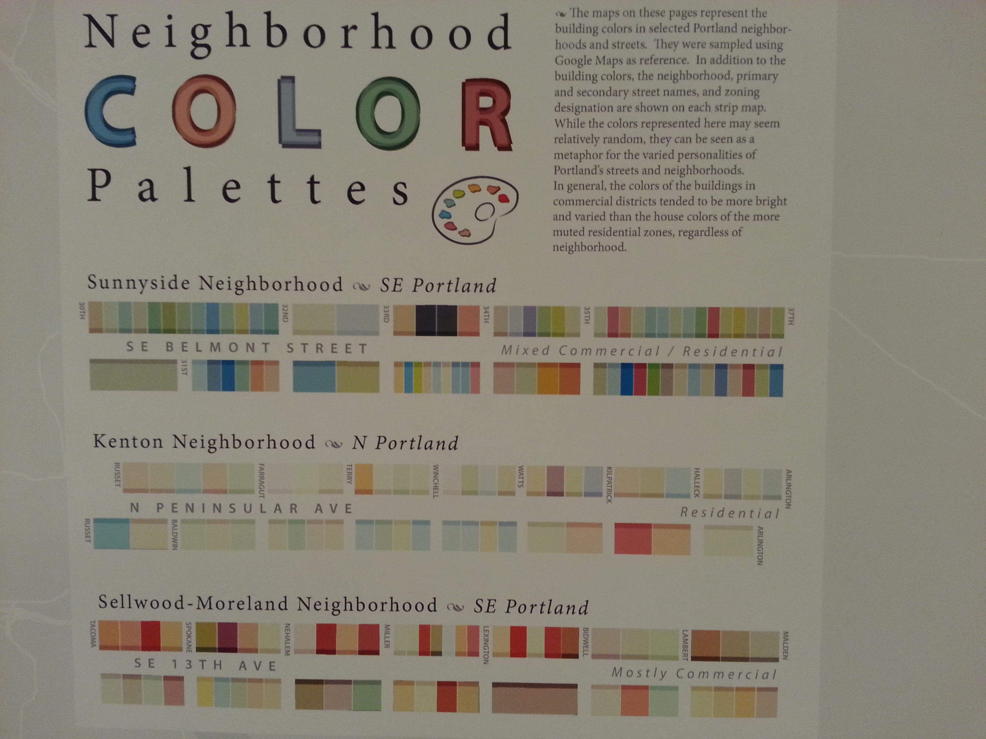
Developing the Cultural Atlas of Portland by David Banis, Jon Franczyk, Daniel Coe, Kirk McEwen, and Frank Lahm III
Interesting color classification by neighborhoods.
Such meticulously placed labels, truly a piece of cartographic beauty!
Another great mix of cartography and info-graphics.
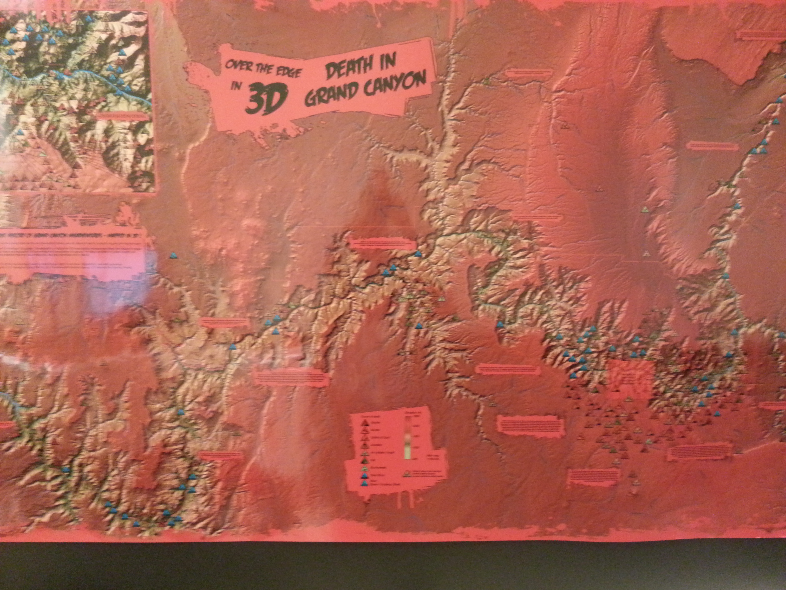
I used to have this 3D basemap in my bathroom for several years that I picked up for free at an ESRI conference. I love somebody had the idea to spruce it up with all the deaths in the Grand Canyon.
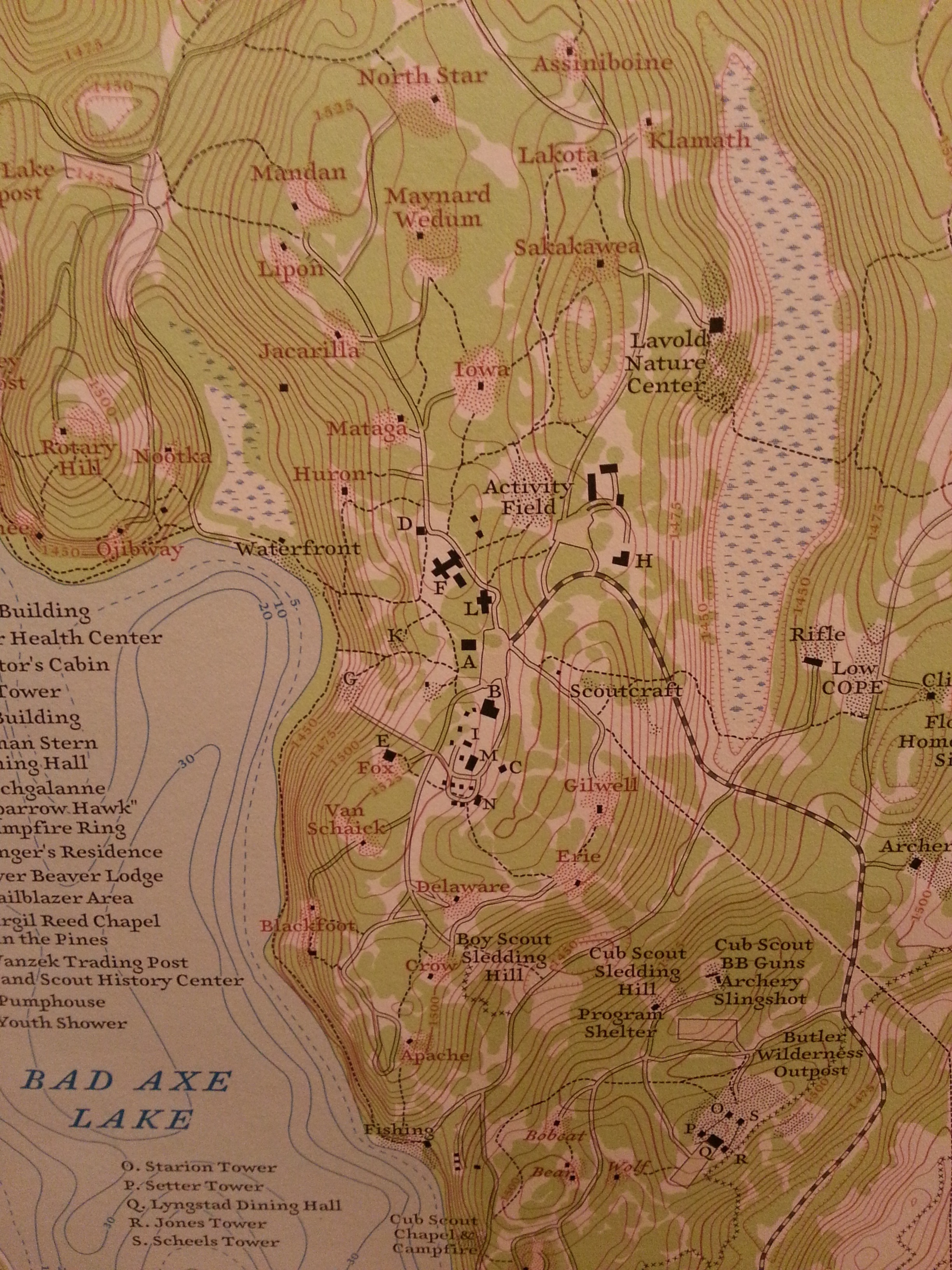
I just really love the retro-style of this map. It just reminds me of every summer camp I’ve ever been to as a child.
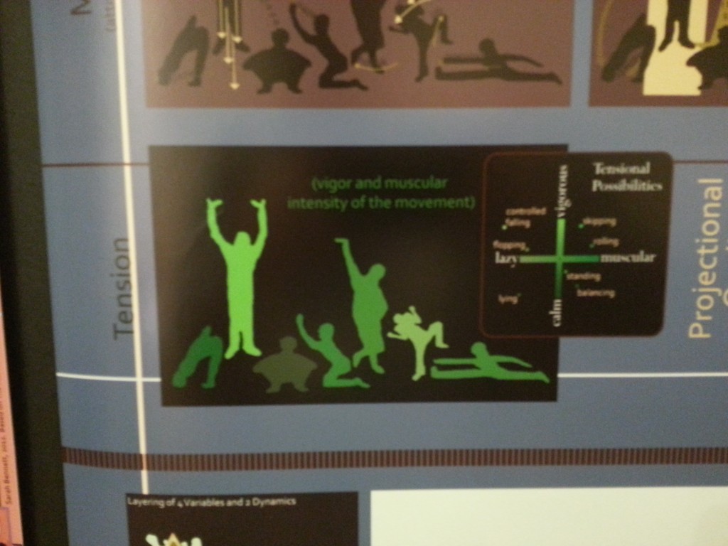
An interesting attempt to map the movement of the human body.
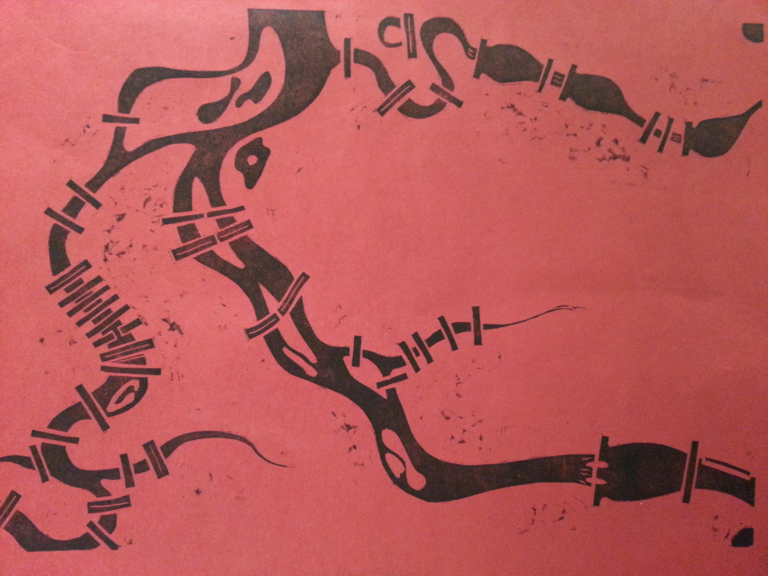
Again the Oregon Bicycle map but I couldn’t resist. The creator Mark Scott calls it “Cartomation”. “It is a kinetic mechanical 1:250,000 scale model of the state of Oregon. The sprocket hubs correspond to 35 location of selected cities. The diameter of the steel pipe was sized according to traffic volume.” I also got to see it in motion which was definitely something to behold.
Link to Science Maps: scimaps.org
Link to Paste in Place: pasteinplace.com
Link to Mark Scott: markscott.biz












Leave a Reply