Day 3 of GIS-Pro started with “New Uses of Web-GIS: Crowdsourcing, Sketchup, and Smart Workflow Tools.” The first presentation was Brett Maxfield of CitySourced. Brett’s team was in charge of creating an app that allows citizens to interact with city government. One example was allowing people to report pothole data via smartphones and the city utilizing that data alongside current decision making tools.
The next speaker was Ronald Hall who talked about leveraging GIS data using Google apps. This was very exciting for me as I believe Google tools are an excellent way to bring GIS to the people. When people can play with your data at home on their own computers they become your biggest advocates, a brilliant form of crowd sourcing. I also spent 20 minutes geeking out with Ron about these ideas afterwards.
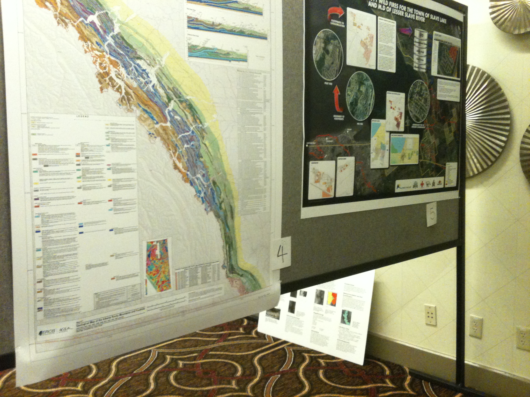
Next I wandered through the exhibits (more pictures as promised):
Finally I ended the day with the Technology Keynote Address entitled “Demystifying the Cloud.” This was an interesting history on cloud computing and where the future may take us. The two points that really stood out to me were Amazon’s role in the early formation of the cloud and an actual picture of the physical cloud. I did not know that Amazon Web Services started as a way for Amazon to capitalize on renting their servers out during their downtime (not the holiday season). It was also interesting to see a picture of an actual server farm and to learn that each server has at least one copy of itself outside of the rack and one within, in case of hardware failure. They also have two different internet providers coming into the building in the event one fails. I would have liked to stay the rest of the day but I’ve been falling behind on homework so had to head home.
Day four at GIS-Pro consisted of Jack Dangermond’s closing keynote address. While the content of this speech seemed to be more of the same line ESRI has been trying to feed us; ArcGIS online is where cloud GIS is going….etc…etc.. I found myself surprisingly entertained by his keynote. I can now see why Dangermond is considered the Steve Jobs of GIS, he just has a way of capturing people’s attention. Somehow he was also able to somehow make me respect will.i.am just a tiny bit. Apparently will.i.am is a huge advocate for GIS and coding in poor inner city schools. His argument is that while sports programs may help get a few kids get out of poor neighborhoods, learning skills like GIS and coding will help get far more kids out of those same neighborhoods. The Black Eyed Peas may create some of the most horrible music ever made but at least will.i.am is advocating something I strongly believe in, so there’s that.
I had a great time at GIS-Pro and can’t wait for the next conference: NACIS!
Link for CitySourced: http://www.citysourced.com/default.aspx
Link to Ron Hall’s Google+ page: https://plus.google.com/116952582721414783818/posts


Leave a Reply